GIS underpins location-based applications at Wiltshire Police
Wiltshire Police expects its new geographic information system (GIS) and
web mapping software to significantly improve the safety of its
officers. The corporate GIS will underpin location-based applications
throughout the force, delivering live location data to the Wiltshire
Police command and control centre, such as displaying the location of
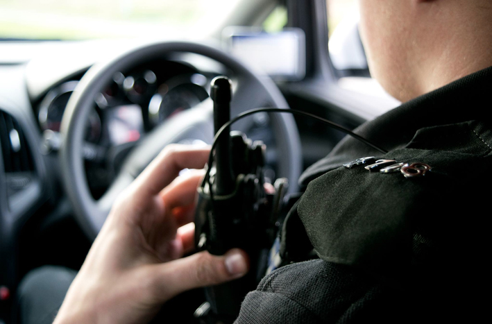
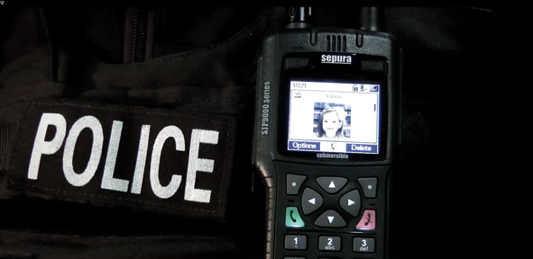
999 calls and enabling the tracking of police personnel and vehicles
through an automatic resource location system. The system is also
expected to improve crime and intelligence analysis.

Wiltshire Police expects its new geographic information system (GIS) and web mapping software to significantly improve the safety of its officers. The corporate GIS will underpin location-based applications throughout the force, delivering live location data to the Wiltshire Police command and control centre, such as displaying the location of 999 calls and enabling the tracking of police personnel and vehicles through an automatic resource location system. The system is also expected to improve crime and intelligence analysis.
It is widely recognised that the application of GIS increases the capability and effectiveness of the emergency services to respond in an emergency situation, when they rely on accurate and timely information about the location of incidents, crimes or assets, often from dispersed sources of data.
The ability to access and process spatial information quickly, from multiple sources, and to give visual feedback, is crucial to planning and operational effectiveness.
The technology from Cadcorp, the UK-based developer and supplier of GIS and web mapping software, will play a key role in the forces information and communications technology (ICT) infrastructure. The software will:
provide sophisticated modelling and analytical capabilities for crime and intelligence analysis;
deliver live locational data to the Wiltshire Police command and control system;
be used for tracking both personnel and vehicles in the force automatic resource location system;
be used in the emergency communications centre for logging and displaying the location of 999 calls and the response to those calls; and
track the location of non-emergency calls in the force contact centre.
Wiltshire Police selected Cadcorp following an extensive evaluation exercise. John Flynn, manager of the modernising operational service delivery programme, said: We looked at a number of GIS products in terms of how well they met both our current requirements and the standards set by the Home Office and Communications-Electronics Security Group (CESG). It was also important for us that the chosen system be sufficiently adaptable and flexible to accommodate changes in the future. We judged that Cadcorps open technology will meet both our current and future needs.
Although primarily intended for use within the force, it will enable the sharing of data with other public agencies, such as local authorities and other police forces.
Mike ONeil, CEO of Cadcorp said We are pleased that Wiltshire Police has decided to base its handling of geographic information on Cadcorps GIS and web mapping technology. We look forward to working with the force and bringing the power of location awareness to its core business processes.
Cadcorp technology was rolled out at West Yorkshire Police in October 2009 to provide GIS facilities to command and control, crime analysts and corporate intranet users.
For more information visit www.cadcorp.com