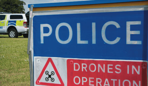
‘One-stop’ drone solution for forces
Drone hardware selection and management is being combined with data capture, analysis and sharing software in a streamlined ‘one-stop’ solution for the emergency services.
The industry partnership aims to make it easier and more cost-effective for forces to create “tightly integrated drone programmes”.
Geographic information system (GIS) specialist Esri UK is working with drone company heliguy™ to provide a single source of hardware and software, which they say will make the procurement process “more efficient”.
The partnership will provide customers with drone hardware, payloads and pilot training from heliguy, combined with Esri UK’s drone flight planning, data capture, data processing and GIS software.
The two companies will work on a number of joint projects to introduce more efficient workflows and new capabilities, including the rapid creation of FMV (full motion video), real-time drone surveillance programmes, ‘digital twins’ and 3D models of buildings. New approaches will include both cloud and desktop data processing and storage, enabling faster sharing of drone data and integration with other systems such as GIS.
Adrian Friend, head of defence, national security and public safety at Esri UK, said the use of drones is “increasing and becoming more complex”, adding: “This end-to-end approach will give users sophisticated fleet management and remote flight planning workflows, combined with geospatial analysis, which is vital in delivering drone data to teams on the ground or in operations centres, so that faster decisions can be made.”
For example, Ben Sangster, GIS and survey lead at heliguy, said new payload sensors recently launched will “now enable high-fidelity mapping to be achieved much faster than before”.
“Combining our hardware expertise with Esri’s software will reap new benefits for defence and public safety drone programmes,” he added.


